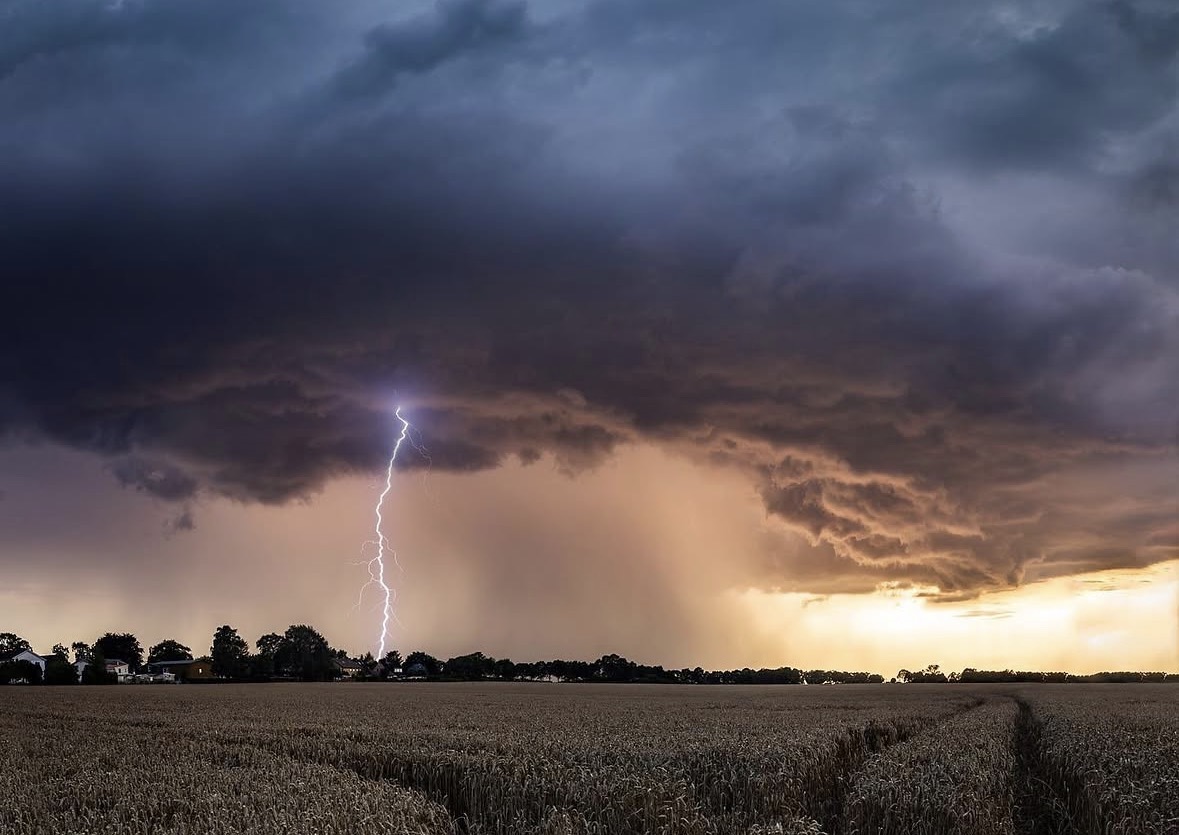

The relationship between the camera and the atmosphere is something I began exploring when I was six or seven years old, holding my first digital camera. What started as a childhood fascination with the sheer scale of summer storms eventually led to studying meteorology. Understanding how the weather works didn’t change the visual appeal of these events; it simply clarified what to look for through the lens.
The creative process begins hours before any clouds form, studying weather models on a screen. You analyze wind patterns, temperature shifts, and moisture levels, looking for the areas where the atmosphere is expected to become unstable. It is an exercise in anticipation - selecting a specific valley, highway, or open field on a map where the conditions are likely to align. The physical experience of the chase often starts in the heavy heat of the early afternoon. Sitting in a parked car on a quiet country lane or a high ridge. The air is thick and completely still. The light has a heavy, expectant quality. On the satellite images, you watch the first clouds begin to bubble up, rising before spreading outward beneath the stable air higher in the atmosphere.
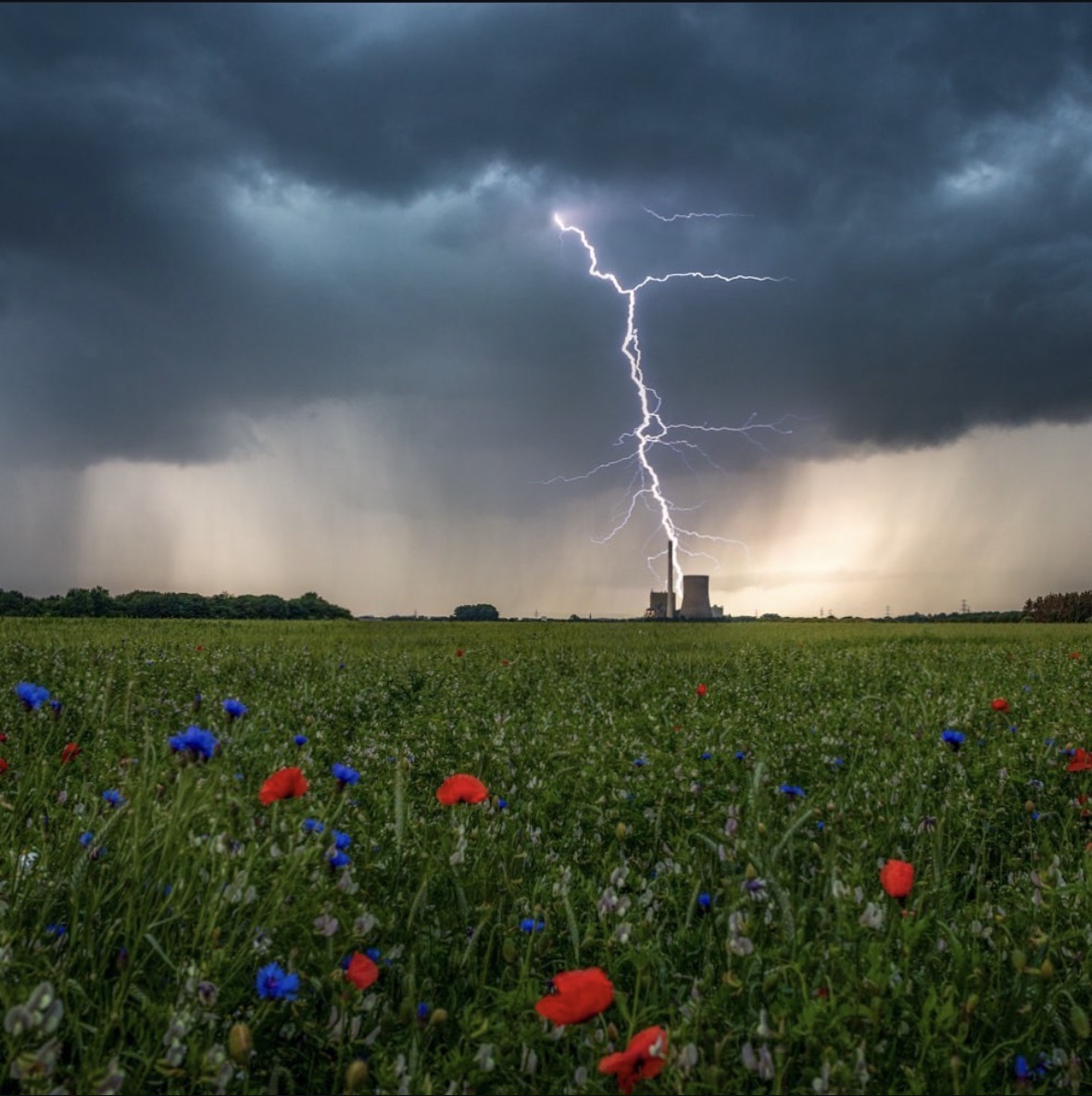
When a storm finally breaks through and organizes, the visual shift is rapid. A thunderstorm begins to take shape. From a distance, you can see the main column of the storm twisting and turning, drawing warm air up from the ground. The base of the cloud is dark, almost charcoal, while the high, icy top of the storm spreads out miles above. As a photographer, you are looking at a structure that is constantly sculpting itself. The clouds have a sharp, layered appearance, but they are made entirely of air, water droplets, ice, and motion.
Positioning yourself to capture this is about reading the storm's direction. You want to be just ahead of it, where the warm wind is rushing toward the storm. Here, you can feel the draft pulling at your clothes. Visually, this is where the structure of the storm is cleanest. You can see the dark cloud base hanging low, while the heavy rain and hail core sits just behind it, which can take on a green hue from how the light is scattered.
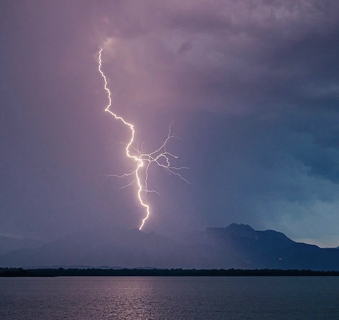
Then, the dynamics shift. As the storm matures, cold air from high above begins to rush downward. The temperature can drop dramatically within moments. The warm wind suddenly reverses, replaced by a cold, violent wind blowing out from the rain core. The sky behind you turns a solid, opaque gray as the storm approaches. This is the moment where you transition from watching the storm to being pushed by it. The wind whips dust across the fields, obscuring the road .The lightning that had been flickering within the cloud is now joined by bright cloud-to-ground strikes, followed moments later by thunder.
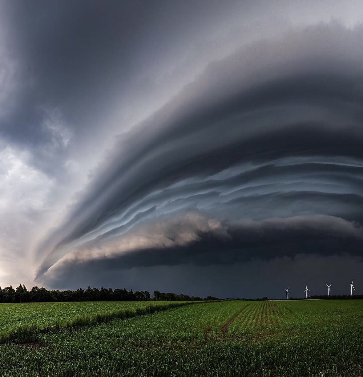
Photographing under these conditions is about working within a very narrow window of time. You hold the camera steady against the rising wind, waiting for the shutter to capture a lightning bolt illuminating the rain, before packing the gear into the car just as the first heavy, loud drops of rain hit the windshield.
When documenting these storms, the goal is not to capture chaos, but to show the structure within the atmosphere. It is about the contrast between the dark, heavy base of the rotating cloud and the light catching the edge of the storm miles above. For those of us who study the weather, these photographs are a direct visual record of the atmosphere's power, captured at the precise intersection of light, physics, and the land.
See more stories

The Benefits of a Nimble Production Team